How to Locate Layer Metadata
Metadata refers to the general information about a data file, and the metadata for QGreenland layers can be accessed in two ways.
Note
For more information on layer properties and metadata, see our Tutorial on Interacting with Geospatial Data in QGreenland Core.
Via QGIS Layer Properties
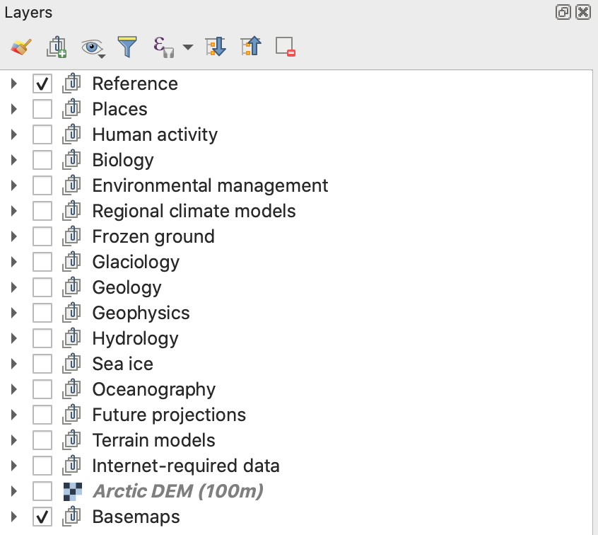
If you have the QGreenland Core base package downloaded, you can easily locate and view
layer metadata within QGIS. First, open the qgreenland.qgz QGIS project file that was
included in the QGreenland Core download package. Next, locate your layer of interest in
the Layer Panel. The Layer Panel is a panel on the left side of the Map
View containing a list of layers that are in your QGIS project.
Right click on the layer and select the Properties option. This will open the Layer Properties window. Next, find the metadata tab on the left side window panel. This will show any available information that is associated with the data layer, including the title and abstract.
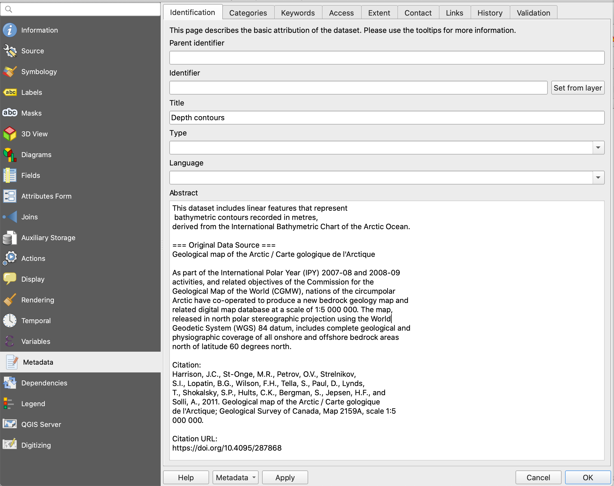
Information about the layer’s coordinate reference system and spatial extent can be found in the Information tab.
Via Text Files in Layer Directories
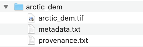
In each layer directory inside the QGreenland package, you should see 2 text
files, one provenance.txt, which includes information on how the data is
processed, and one metadata.txt.
Open up metadata.txt to read through the layer metadata including layer
description, dataset abstract, and citation information.
Open the provenance.txt file to see all of the processing steps applied to
the data for QGreenland.
Note
To see the layer’s geospatial metadata (e.g., the coordinate reference system and spatial extent), we recommend using QGIS.